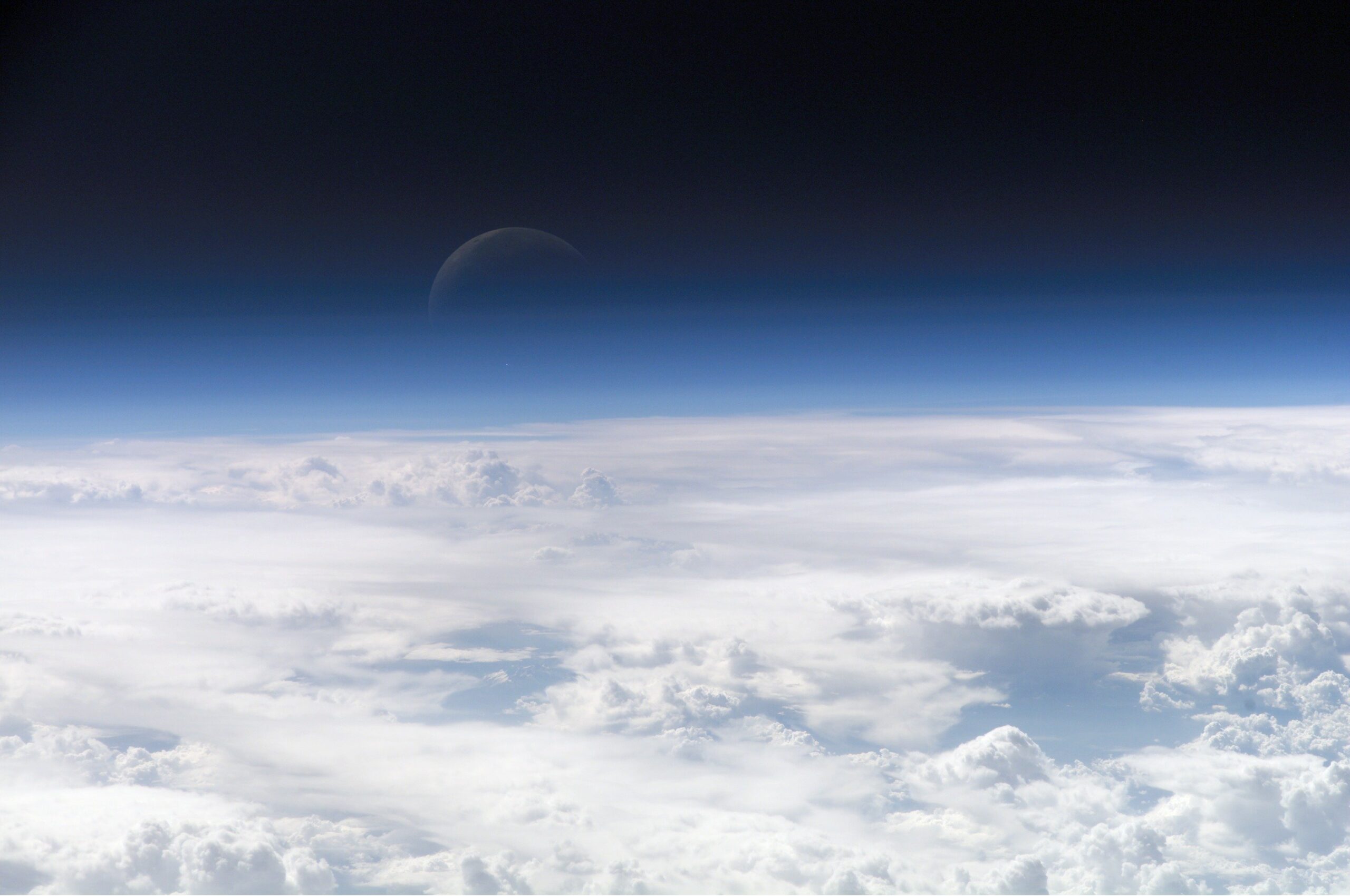
There is a layer of atmosphere that begins around 100 kilometres up and thins out towards 1,000, and it is one of the hardest parts of our planet’s environment to measure. Researchers in Japan have now mapped a slice of it using data that SpaceX publishes for free.
A team led by Mamoru Yamamoto at Kyoto University’s Research Institute for Sustainable Humanosphere used the published orbital data of roughly 1,200 Starlink satellites to reconstruct the density of the thermosphere at an altitude of about 482 kilometres. The results were published in Earth, Planets and Space, and are described as the first tomographic analysis of its kind.
Advertisement — ad space reserved
Why the thermosphere is so hard to see
More than 99 per cent of the upper atmosphere is electrically neutral gas — the thermosphere. The remaining sliver is ionised gas, the ionosphere, and because ionised gas interferes with radio waves it can be studied from the ground relatively easily. Neutral gas offers no such shortcut. It does not scatter radio signals in a convenient way, and there is very little of it, so the usual instruments have little to work with.
This matters because that thin gas is not thin enough to ignore. Satellites in low Earth orbit are constantly bumping into its particles, and the resulting drag slowly pulls them down. When the Sun is active, the upper atmosphere heats and expands, density at satellite altitudes rises, and orbits decay faster than predicted.
The method
The insight is to invert the problem. Drag is normally a nuisance to be corrected for. Here it becomes the measurement.
Every Starlink satellite whose orbit decays is, in effect, reporting how much atmosphere it has been pushing through. With 1,200 of them at a similar altitude, spread across the globe, you have 1,200 simultaneous readings from different positions. The team applied tomography — the same mathematical technique that turns many X-ray angles into a medical CT scan — to turn those readings into a two-dimensional map of density across latitude and longitude.
The results showed high consistency with observations from the European Space Agency’s Swarm mission, which measures density variations along its own trajectories. That agreement is what makes the map credible: an independent instrument, measuring in a completely different way, saw the same structure.
Advertisement — ad space reserved
What it is for
The practical application is collision avoidance. Low Earth orbit is crowded with satellites and debris, and predicting where an object will be next week depends on knowing how much drag it will experience. Errors in density estimates translate directly into errors in position, which translate into either unnecessary avoidance manoeuvres or missed ones.
Yamamoto’s team suggests the approach could eventually support near-real-time density measurements around satellites, which would feed into space weather forecasting — the discipline that tries to predict how solar activity will disturb orbits, power grids and radio communications.
The limitation
Starlink satellites orbit at an inclination of 53 degrees, which means they simply do not pass over the high latitudes. The map has gaps at the poles, and polar regions are precisely where some of the most dramatic space-weather effects occur. Filling those in would require data from satellites in different orbital shells.
There is a broader point worth drawing out. The satellite mega-constellations are usually discussed as a problem for science — they streak across telescope images and interfere with radio astronomy. This is the opposite case: a commercial constellation, built for selling internet access, turning out to be a globally distributed sensor network that no research agency could have afforded to launch. The data was already public. Somebody just had to think of using it this way.
Sources
Kyoto University research announcement and EurekAlert release; ScienceDaily and Phys.org coverage; Yamamoto, M. (2026), Tomography of thermospheric density from Starlink Ephemeris: initial report, Earth, Planets and Space, vol. 78.
Advertisement — ad space reserved
Leave a Reply