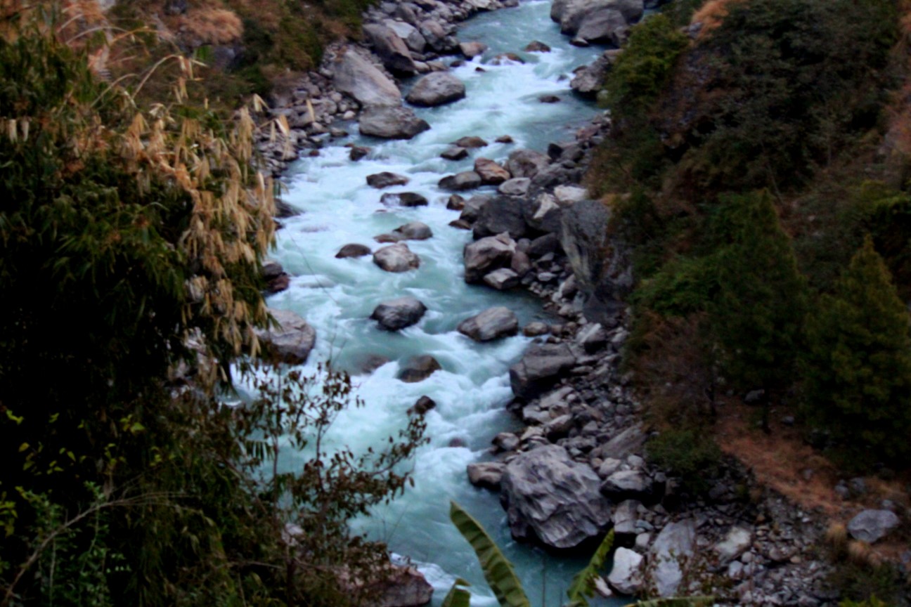
Three days after a glacier collapsed high above the Nepal–Tibet border and sent a wall of water, mud and rock down the valley, the death toll has passed 500 and the search has been interrupted by a new danger: a lake that formed in the debris at the top of the valley and has begun to overflow.
Nepali police put the number of dead at 469 on Friday morning and 547 later in the day. Chinese authorities reported five deaths on the Tibetan side. More than 1,300 people were still listed as missing across both sides of the border, a figure officials expect to move in both directions as villages are reached and as people who fled turn up alive elsewhere.
Advertisement — ad space reserved
Why the figures keep changing
Readers following the story across outlets will have seen four or five different totals in the space of a day. That is normal in the first week of a disaster of this kind, and it is worth understanding why rather than assuming someone is wrong.
Nepal’s police count bodies recovered and formally identified. Local officials in the affected districts often quote a broader figure that includes people reported dead by relatives but not yet found. News organisations running their own tallies from district offices land somewhere in between. The Chinese figure covers only Gyirong county, where authorities have said several hundred people remain unaccounted for, including a large number of foreign nationals who were in the area as pilgrims and traders.
The missing figure is the least stable number of all. In previous Himalayan floods, a substantial share of those initially listed as missing were later found alive, having walked out or sheltered in a village that had lost phone coverage. That is the reason officials resist adding the missing to the dead.
The lake at the top of the valley
The event that caused the flood also left a hazard behind it. When the ice and rock came down on Wednesday, part of the debris blocked the river valley. Water has been building behind that blockage ever since, forming a lake where none existed a week ago.
Nepal’s disaster authority has been monitoring the water level, and on Friday Chinese authorities reported the lake had started to overflow. Search operations near the border were halted as a precaution. A debris dam is not an engineered structure: it is a loose pile of rock, ice and mud, and it can either drain gradually or fail all at once. The second outcome would send a second surge down the same valley that people are currently working in.
Advertisement — ad space reserved
Why the rescue is going slowly
More than 5,000 Nepali army and police personnel are working in Rasuwa and Nuwakot, with helicopters delivering tents, food and medical supplies to settlements that can no longer be reached by road.
The obstacle is the infrastructure itself. Officials say at least 19 bridges were destroyed and roughly 40 kilometres of road damaged along the affected stretch. In a valley where a single highway serves dozens of settlements, losing bridges does not slow the rescue down by a percentage — it removes whole communities from the map until an aircraft can reach them. Rain, low cloud and power cuts have grounded flights repeatedly.
The Gyirong port complex on the Chinese side, the main crossing for trade and travel between the two countries, was destroyed. That matters for the response as well as the economy: it was the obvious staging point for anything moving between the two sides of the border.
The scale, in one detail
The clearest measure of the force involved is not a photograph. It is the fact that bodies of some victims were recovered roughly 240 kilometres downstream, across the border in India. The seismic signal from the collapse itself was picked up by instruments in the United States and Germany, and was initially misread as an earthquake.
Among the missing are foreign nationals from several countries, including a group of pilgrims travelling towards Mount Kailash in Tibet, a route that runs directly through the affected corridor at this time of year.
Advertisement — ad space reserved
Our earlier report on the collapse and the first hours of the flood is here: A Wall of Water on the Nepal–Tibet Border.
Sources
Nepal Police; Nepal’s National Disaster Risk Reduction and Management Authority; CNN; NPR; Al Jazeera; BBC; United States Geological Survey.
Leave a Reply